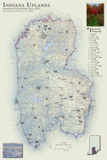
The Indiana Uplands are well suited for viticulture with a growing season of 170 days or more. Situated 300 feet higher than the areas to the east, north and west, the Indiana Uplands are on average cooler during summer. Many unique meso-climates can be found within the Indiana Uplands due to the elevation and highly variable topography. Most of the commercial vineyards in the Indiana Uplands are planted on hilltops and ridges where large local elevation differences allow cold air to drain into the valleys.
The majority of the soils are made up of finely powdered pale red-yellow silt or clay of wind-blown origin. Grapes grown on these low fertility soils usually have lower crop yields and the wines have a more concentrated character. The unique topography, climate and soils of the Indiana Uplands are well suited to growing grapes that ripen under conditions that produce wines with good acid, color, tannins and distinctive fruit flavors.


